Sykes-Picot Myths: Did One Secret Map Really Draw the Middle East?
The 1916 deal gets the blame for today’s borders, but the real map came from later treaties, wars, and local revolts.
Key Takeaways
-
The Sykes-Picot Agreement of 1916 divided Ottoman Arab lands into British and French zones of control and influence, not into the countries that exist today.
-
Most of the region’s modern borders were set by later agreements, especially the San Remo Conference (1920), the Cairo Conference (1921), and the Treaty of Lausanne (1923).
-
Revolts and political movements across the region, from Syria to Iraq to Anatolia, changed the final map in ways Sykes and Picot never planned.
-
Some historians argue the agreement still matters because it launched a model of outside powers deciding the region’s political future.
-
For the Kurds, the decisive moment was not 1916 but 1923, when the Treaty of Lausanne dropped earlier plans for Kurdish autonomy.
Introduction
Ask almost anyone why the Middle East’s borders look the way they do, and you will hear two names: Mark Sykes and François Georges-Picot. The standard story says that in 1916, a British official and a French diplomat sat down with a map and drew straight lines that created Iraq, Syria, Jordan, and Lebanon, ignoring the people who lived there. The Sykes-Picot agreement has become shorthand for everything wrong with the region’s political map.
That story is not entirely wrong. It is also not what happened. The 1916 deal was a secret wartime plan, but events overtook it almost as soon as it was signed. The lines that actually became borders were negotiated years later, reshaped by local uprisings, and in several cases look nothing like the original map.
This article separates the Sykes-Picot agreement from the Sykes-Picot myth. It examines the document’s content, identifies the treaties that actually established the borders, explores the reasons behind the myth’s power, and considers why some scholars still believe the agreement deserves its reputation.
What the Sykes-Picot Agreement Actually Said
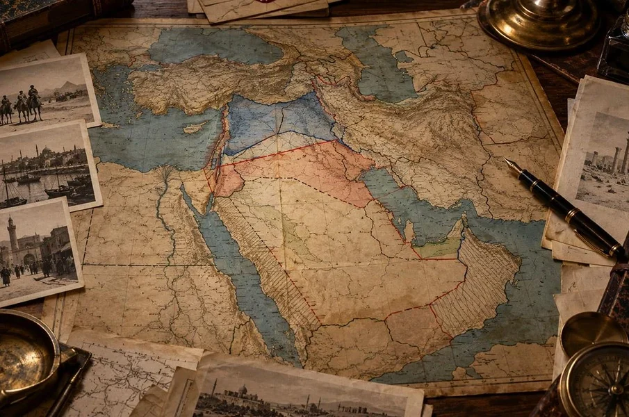
The Sykes-Picot agreement, concluded in May 1916 with Russia’s consent, divided the Ottoman Empire’s Arab provinces into zones of direct British or French control and zones of indirect “influence.” It did not create named countries. It sketched how two wartime allies expected to share the spoils if the Ottomans lost.
The map assigned France direct control over coastal Syria, Lebanon, and parts of southern Anatolia, and Britain direct control over southern Mesopotamia around Baghdad and Basra. Between them sat two large areas marked for an Arab state or confederation of states, one under French influence and one under British influence. Much of Palestine was set aside for some form of international administration.
What the document envisioned, in other words, was a patchwork of imperial spheres. As a Brandeis University Crown Center brief points out, the states that later emerged, especially the cores of Syria and Iraq, look very different from what the 1916 map proposed.
The agreement also sat awkwardly beside other British promises. In letters exchanged in 1915 and 1916, Britain encouraged Sharif Hussein of Mecca to expect Arab independence in return for a revolt against the Ottomans. In 1917, the Balfour Declaration expressed support for a Jewish national home in Palestine. Historians still debate how far these commitments contradicted one another, but few dispute that they were made with different audiences in mind.
The Treaties That Really Drew the Lines
Most of the Middle East’s modern borders were set between 1918 and 1926, not in 1916. The key moments were the San Remo Conference of April 1920, which assigned mandates to Britain and France, the Cairo Conference of 1921, and the Treaty of Lausanne in 1923, which fixed Turkey’s southern borders.
A mandate, in this period, was a territory that the League of Nations placed under the supervision of a European power, in theory, until it was ready for independence. San Remo gave France mandates over Syria and Lebanon, and Britain mandates over Iraq and Palestine. As The Conversation notes, the boundaries agreed in this period differed from the 1916 map, and many scholars consider the later agreements far more consequential.
The key steps, in order:
-
May 1916: Sykes-Picot sets out British and French spheres in secret.
-
November 1917: Russia’s new Bolshevik government publishes the secret deal.
-
1918: Britain and France agree that oil-rich Mosul, assigned to France’s sphere in 1916, will go to Britain.
-
April 1920: The San Remo Conference allocates the mandates.
-
August 1920: The Treaty of Sèvres imposes harsh terms on the Ottomans, including possible Kurdish autonomy.
-
1921: The Cairo Conference shapes Iraq and creates Transjordan.
-
July 1923: The Treaty of Lausanne replaces Sèvres and fixes Turkey’s borders.
-
1926: The League of Nations confirms Mosul as part of Iraq.
EVIDENCE CHECK: The popular claim is that Sykes and Picot drew today’s borders with a ruler. The record shows their map was revised repeatedly: Mosul switched from the French to the British sphere, Palestine’s planned international zone became a British mandate, and Turkey’s southern frontier was fixed only after its nationalist forces won back territory and forced the Allies to replace Sèvres with Lausanne.
Why the Sykes-Picot Myth Took Hold
If the 1916 map was so quickly overtaken, why does it carry so much blame? Part of the answer is how the world learned about it. In November 1917, Russia’s new Bolshevik government published the secret treaties it found in the tsarist archives, including Sykes-Picot. Arab leaders who had been promised independence discovered that Britain and France had been planning a division of the same lands.
That sense of betrayal stuck. For generations of Arab nationalists, Sykes-Picot became a symbol of European duplicity, standing in for a whole series of decisions made in London and Paris. A single, memorable name is easier to rally against than a sequence of conferences and treaties.
The myth gained new life in 2014, when the Islamic State group released propaganda announcing the “end of Sykes-Picot” as it erased a stretch of the Iraq-Syria border. Ironically, the boundary it bulldozed was one of the few lines that Sykes-Picot had not drawn in anything like its final form. Western commentators then picked up the phrase, and a wave of centennial writing in 2016 cemented the agreement’s place in popular memory.
Sykes-Picot became a symbol because a single name is easier to blame than a decade of treaties.
The Case That the Sykes-Picot Agreement Still Matters
The scholars who defend Sykes-Picot’s importance rarely claim it drew the actual borders. Their argument is that it set the pattern: outside powers deciding among themselves, in secret, how the region would be governed, with local populations treated as an afterthought.
Writing for the Oxford University Press blog during the centenary, one historian acknowledged that the critics have a point about the borders. But the post argued it is impossible to dismiss the kind of imperial intervention and externally directed state-building that Sykes and Picot helped set in motion. In that reading, the real legacy is not where the lines went but who got to draw them.
Others go further. Aaron Hughes of the University of Rochester has argued that the agreement, read alongside the other wartime promises, remains essential to understanding the region’s colonial past and its later fractures. On the other side, a widely read 2016 essay in The American Interest dismissed the idea of “Sykes-Picot borders” outright, pointing out that the agreement never came into effect as written.
Both camps are working from the same documents. Their disagreement is about emphasis: whether to focus on the map itself, which mostly failed, or on the imperial mindset behind it, which largely succeeded.
Local Agency: The Revolts That Shaped the Map
The Sykes-Picot story usually casts people in the region as passive, waiting while Europeans decided their fate. The years after 1918 tell a different story. Uprisings, new governments, and nationalist armies forced the great powers to change their plans again and again.
In March 1920, a congress in Damascus proclaimed an Arab Kingdom of Syria under Emir Faisal, the son of Sharif Hussein. French forces crushed it at the Battle of Maysalun that July, but Britain then made Faisal king of Iraq instead. The same year, a large revolt against British rule in Iraq pushed London toward indirect rule through a local monarchy. In Anatolia, Turkish nationalist forces fought off the occupying powers and tore up the Sèvres settlement entirely.
The scholar Jonathan Wyrtzen builds this case in his book Worldmaking in the Long Great War. At a Carnegie Endowment discussion of the book, the framing was that people in the region had far more agency in forming their own states than the popular narrative allows, especially in the decade of revolts after the Ottoman collapse.
This argument does not erase European power. France and Britain still held the mandates, and they often answered resistance with force, as in the Syrian revolt of 1925 to 1927. But it does mean the map was the result of a contest, not a dictation.
The Kurdish Question, From Sèvres to Lausanne
For the Kurds, the critical date is 1923, not 1916. The Treaty of Sèvres in 1920 held out the possibility of Kurdish autonomy and even eventual independence in parts of eastern Anatolia. Three years later, the Treaty of Lausanne replaced Sèvres and made no provision for a Kurdish state.
That outcome followed directly from the success of the Turkish nationalist movement, which rejected Sèvres and won the territory on the battlefield. As the Oxford University Press blog notes, Lausanne consolidated the nationalists’ control over Cilicia and northern Kurdistan, a result the 1916 map did not anticipate.
The Kurdish case shows why the Sykes-Picot shorthand can mislead. Many Kurdish writers see the post-war settlement as a betrayal, and they ground that view in real events. But the decisive turn came from a combination of Allied retreat and Turkish military victory, years after Sykes and Picot had finished their work. Kurdish communities were ultimately divided among Turkey, Iraq, Syria, and Iran, a division that still shapes the region’s politics.
EVIDENCE CHECK: It is often said that Sykes-Picot split Kurdistan. In fact, the 1916 map did not address a Kurdish state at all. The 1920 Treaty of Sèvres was the agreement that raised Kurdish autonomy, and the 1923 Treaty of Lausanne was the one that dropped it.
Why It Still Matters
The Sykes-Picot agreement is a useful case study in how people compress history. A messy decade of secret deals, broken promises, revolts, conferences, and treaties gets folded into one name and one date. That shorthand is convenient for speeches and headlines, but it hides the people in the region who fought, negotiated, and governed their way into the states that eventually emerged.
Getting the story right does not mean letting the imperial powers escape responsibility. It means placing responsibility more precisely and recognizing that the region’s history was made by more than two diplomats with a map. When a news report says a conflict “goes back to Sykes-Picot,” it is worth asking which decision, which treaty, and whose choices the speaker really means.
Getting Sykes-Picot right means placing responsibility more precisely, not erasing it.
Frequently Asked Questions
What was the Sykes-Picot agreement?
The Sykes-Picot agreement was a secret 1916 understanding between Britain and France, with Russian consent, on how to divide the Ottoman Empire’s Arab provinces after World War I. It created zones of direct control and zones of influence rather than independent countries.
Did Sykes-Picot create the borders of Iraq and Syria?
Not directly. The modern borders of Iraq and Syria were shaped mainly by the San Remo Conference in 1920, the Cairo Conference in 1921, the Treaty of Lausanne in 1923, and the League of Nations decision on Mosul in 1926. The 1916 map looks quite different from the final result.
How did the world find out about Sykes-Picot?
Russia’s Bolshevik government published the secret agreement in November 1917 after taking power. The publication caused anger among Arab leaders who had been encouraged by Britain to expect independence.
Why do some historians say Sykes-Picot still matters?
They argue its real legacy is the model it set: outside powers deciding the region’s political future in secret. In this view, the agreement’s importance lies in the imperial approach it represented, even if its specific lines did not survive.
What happened to the Kurds after World War I?
The 1920 Treaty of Sèvres raised the possibility of Kurdish autonomy, but the 1923 Treaty of Lausanne replaced it without any provision for a Kurdish state. Kurdish populations were divided among Turkey, Iraq, Syria, and Iran.
Further Listening & Reading
Want to hear historians unpack the end of the Ottoman Empire and the mandate era in their own words? Explore the Unraveling Middle East interview series, where more than 236 scholars analyze the region across eras. For more history behind today’s headlines, visit the History Behind News program, or see how a different empire’s collapse played out in the sister series, Analyzing American Revolution